A flood watch has been issued for several rivers in the Shuswap.
On Monday morning, June 13, the B.C. River Forecast Centre (BCRFC) upgraded high streamflow advisories for rivers in the region to a flood watch. Included were the Eagle, Adams and Shuswap rivers and surrounding tributaries.
A high streamflow advisory remained in effect for the South Thompson River.
According to the BCRFC, snowmelt in the South Thompson had raised stream levels through the region. Streamflow and water levels were at or approaching two-year flows in many of the tributaries, including the Adams River near Squilax, the Seymour River near Seymour Arm, the Eagle River near Malakwa, the Shuswap River near Enderby and Shuswap Lake and the South Thompson at Chase.
Also on June 13, Environment and Climate Change Canada issued a special weather statement for the region, anticipating prolonged rainfall Monday into Tuesday, with total precipitation of up to 40 mm, and potentially more over higher terrain.
Flood Watch issued by the River Forecast Centre for #Shuswap Region including South Thompson River tributaries (Seymour River, Eagle River, Adams River, Shuswap River and surrounding tributaries). More info: https://t.co/Z8eTz57HR2 #BCFlood
— Emergency Info BC (@EmergencyInfoBC) June 13, 2022
“River levels are expected to see increased rates of rise later Monday and into Tuesday in response to on-going snowmelt and additional runoff from rainfall, and later into the week for lake-fed river systems,” said the BCRFC. “On the South Thompson River, ongoing moderate rises are expected through the week.”
On Friday, June 10, the Columbia Shuswap Regional District (CSRD) issued a media release explaining Shuswap and Mara Lakes were expected to peak near the end of June or early in July.
“Residents whose properties are prone to flooding can be taking proactive steps to protect their homes. They are advised to monitor water levels near their homes,” cautioned the CSRD.
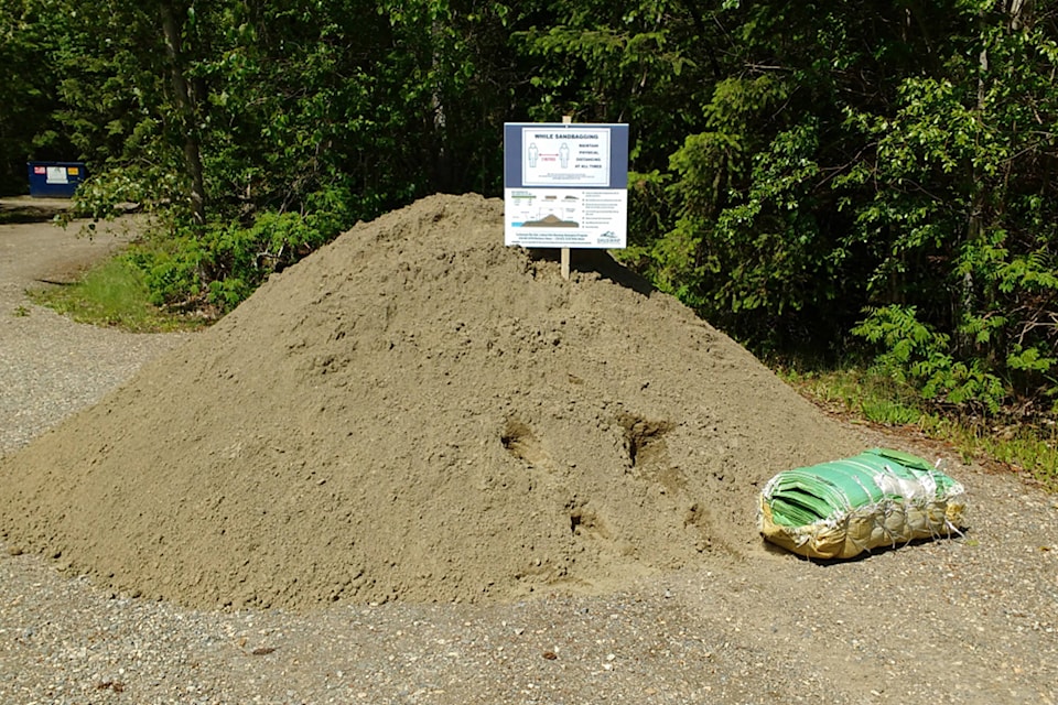
The Shuswap Emergency Program will be making sand and bags available around the region for residents who may be at risk of flooding.
“It is recommended to place flood protection (sandbags) at a level that will protect your home against the highest anticipated lake level while also factoring in waves and boat wakes,” said the CSRD. “This ensures homeowners will not have to move the sandbags upslope or build them up higher than needed.”
The CSRD is expected to be releasing more information on sand and bag pick-up locations this week.
The public should be aware of rising lake and river levels and use caution.
“Please take special care around fast-flowing water, and always supervise children and pets,” advised the regional district.
Read more: Flood Watch issued for Upper Columbia
Read more: Central Kootenay region in B.C. issues evacuation alert for community of Six Mile
lachlan@saobserver.net
Like us on Facebook and follow us on Twitter
Sign up for our newsletter to get Salmon Arm stories in your inbox every morning.